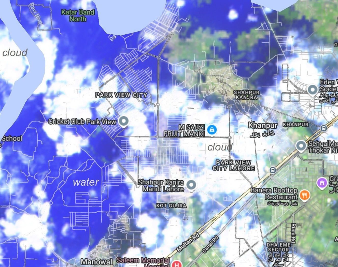
The flood extent presented in the map is derived from MODIS Terra Images (11 and 12 Sep, 2025).You can Download Flood/water extent data
Note: The extent is derived for the overview purpose and may vary from the actual field sutation. A further ground verification is required to authenticate this output.