Update (11-Sep-2025)
Story Map: Visualize the Flood 2025
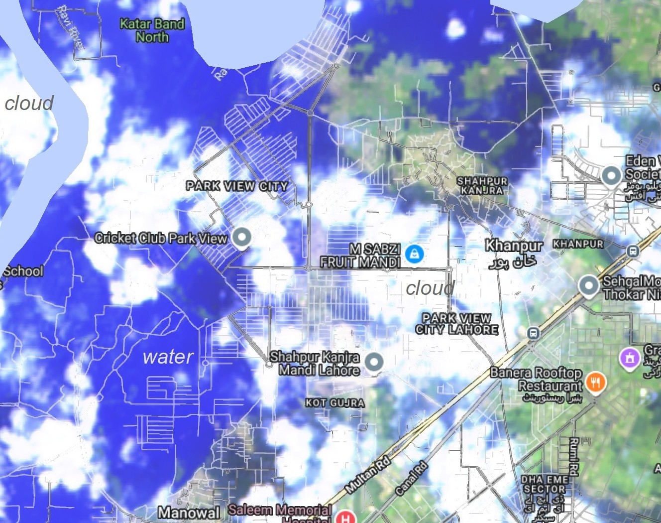
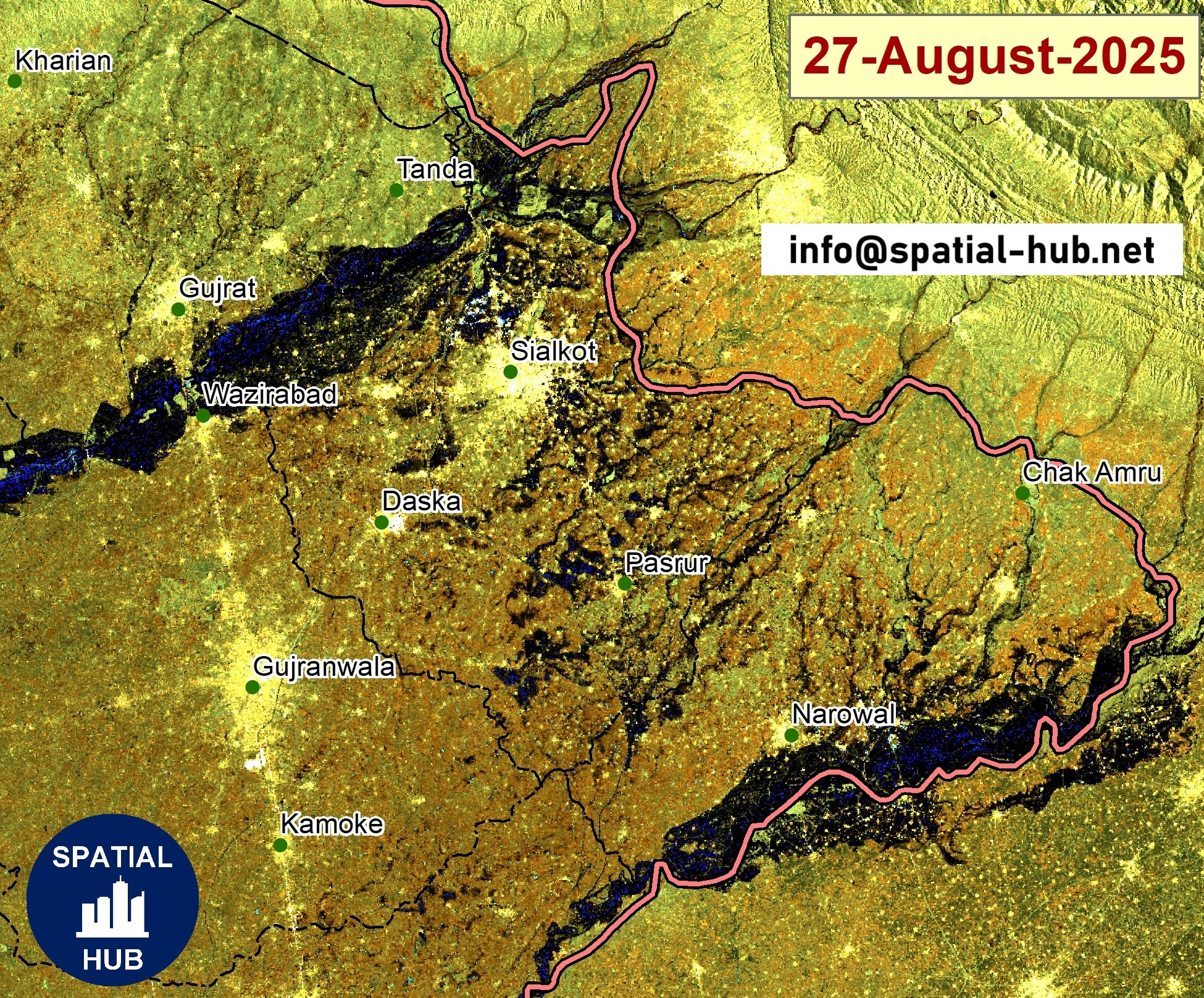
The 2025 monsoon floods have hit Punjab and surrounding regions hard, affecting millions of people, submerging thousands of villages, and damaging crops and infrastructure. Using remote sensing data, GIS analysis, Open Source GIS, I’ve created this Story Map to visualize: Flood-affected populations across key districts
Impact on Cropland and affected crops area (source: UNWFP)